You can change show/hide status of seismic source faults and select a clickable fault type.
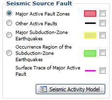
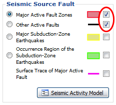
Choose a source fault type in "Seicmic Source Fault" box, and change show/hide status of every types.
At first, no fault polygon is displayed since all of the checkbox are not checked.
Click a checkbox for a seismic source fault, the selected type of faults appear.
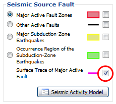
Surface trace of major active faults appear on the map when zoom level is 8 or more.
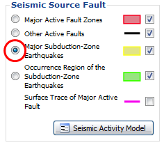
Click an one of the radio buttons to select a type of clickable seismic source fault.
Polygons of selected faults are arranged to be on the top layer.
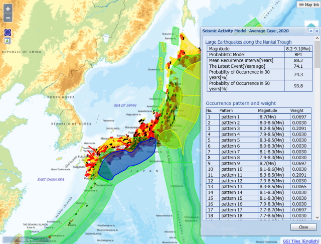
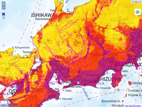
In the figure above, Subduction-Zone Earthquakes are shown in the top layer using the radio button.
Click the polygon of seismic source fault selected by the radio button
to see a detailed information of the fault in "Seismic Activity Model" window.
In case you are selecting earthquakes whose occurrence patterns are taken into account
in Major Subduction-Zone Earthquakes or in Major Active Fault Zones,
occurrence patterns will be listed together.
 Back to top
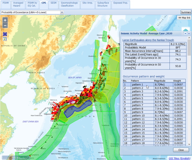
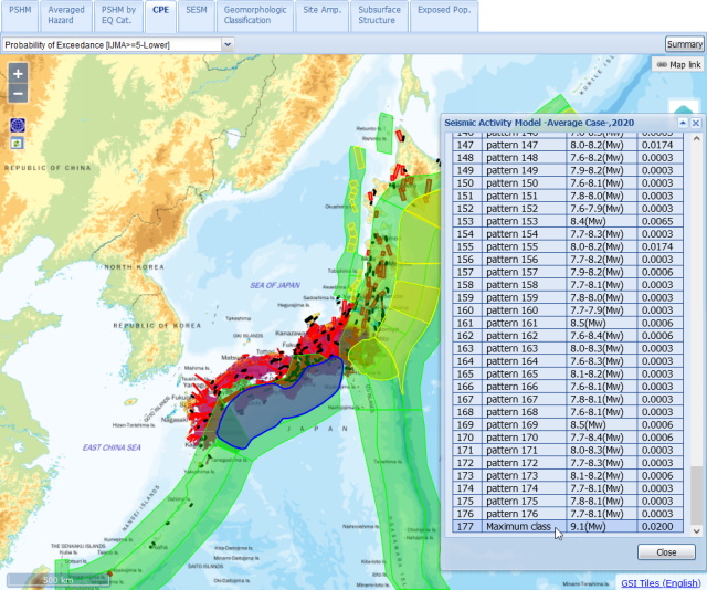
The corresponding occurrence pattern appears in the map area
when you click a row of the listed occurennce patterns.
If you have been selecting Map Tab of CPE, SESM, or Exposed Pop., the map will be updated depending on which occurrence pattern you choose.
The figure below show examples of selecting occurrence pattern 1 and maximum class of "Large Earthquakes along the Nankai Trough" in Map Tab of CPE.
 Back to top
 Back to top
Detailed information in the window when you clicked a polygon of seismic faults is same as
an information in the window when you clicked
"Seismic Activity Model" button in the sidebar.
Click a name of seismic source fault in "Seismic Activity Model" window,
a web page about evaluation of the seismic source fault opens (in Japanese).
If "Fault Parameter" link is shown in the window, you can see a PDF file about the fault parameters (in Japanese).




 Back to top
 Back to top
 Back to top