 on the sidebar,
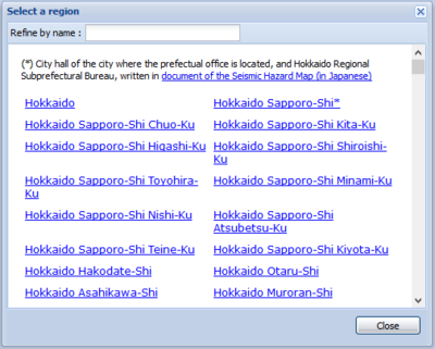
you will see "Select a region" window.
on the sidebar,
you will see "Select a region" window.Once click button  on the sidebar,
you will see "Select a region" window.

NOTE: * indicates a city hall of the city where is location of its prefectural municipal office, and Hokkaido Regional Subprefectural Bureau, based on the documentary of the Seismic Hazard Map (in Japanese)
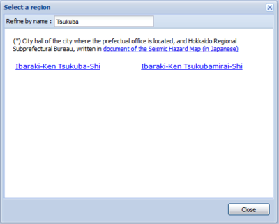
Once partial region's name put on text box of "Refine by name", the related region list appear bellow as shown in an example of "Tsukuba".

Once click a region from the list, the window will move to the region with the border included map. The map shows probabilities of exceedance by color in a 250m mesh-grade and seismic environmental information at a representative point (government office, etc.; white circle) on a pop-up window (Mesh Information).

NOTE: The data of region border is based on the "2019 administrative district data of National Land Numerical Information".